 Image 1 of 1
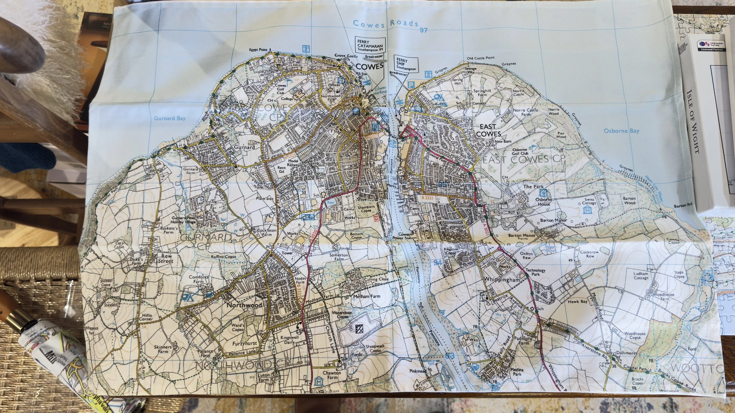
OS Map of Cowes & East Cowes
A distinguished tribute to Britain’s enduring cartographic legacy, this piece features authentic Ordnance Survey mapping of Cowes and East Cowes on the Isle of Wight — a coastline synonymous with maritime tradition and regatta culture.
Rendered with meticulous attention to detail, the historic topography captures harbours, streets, and shoreline contours with the precision for which Ordnance Survey is renowned. The result is both a functional reference and a refined design statement.
Crafted from 100% premium cotton, selected for its softness, structure, and long-term durability.
Proudly made in the United Kingdom, uniting heritage mapping with uncompromising British manufacturing standards.